News Summary
A trio of storms is set to bring significant winter weather across the Midwest, East Coast, and southern states. The first storm will bring a mix of rain and snow, while a second storm is expected to develop in the central Appalachians. Snow accumulations could reach 6 inches in some areas, and colder temperatures are anticipated, with wind chills possibly dropping into the single digits. Residents, especially in southern regions, should prepare for icy conditions as rare winter weather approaches their area.
Winter’s Big Comeback: Trio of Storms Ready to Blanket the U.S.
Brace Yourselves, Folks!
It looks like winter is rolling out a fancy welcome mat as a trio of storms prepares to sweep through the Midwest, East Coast, and even some southern states. You read that right! From the coldest air of the season, which is making its way from way up north in Siberia, to snow and potentially icy delights for many regions, this winter season is shaping up to be quite memorable.
The First Storm
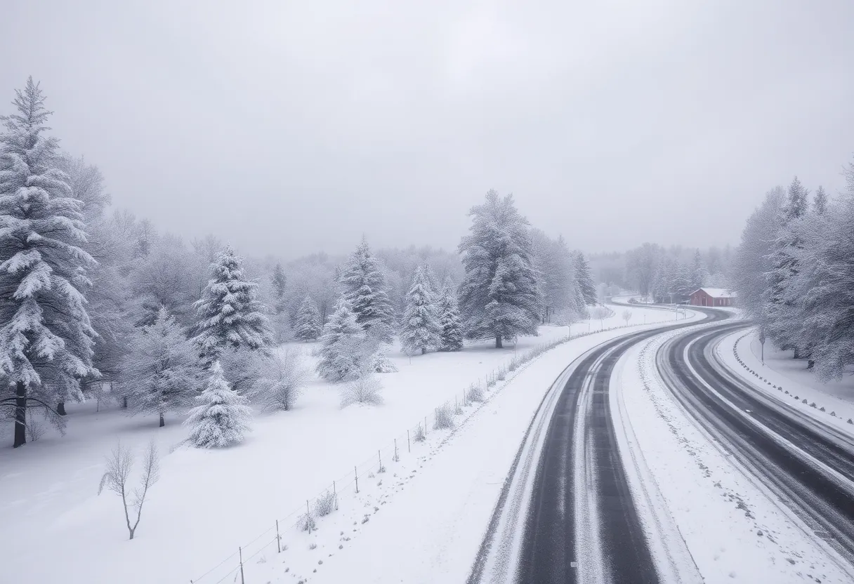
The first storm is all set to kick things off this Saturday. Expect to see a mix of rain and a dusting of 1 to 3 inches of snow in parts of the Midwest and the Interior Northeast. Major cities, including Indianapolis, Detroit, and Cleveland, will feel the weather effects bright and early Saturday morning. As the day progresses, this storm will make its way into the Interior Northeast, likely leading to a winter wonderland by Saturday afternoon.
What’s Following?
But that’s not all! After the first storm crosses over, a second storm is bound to form in the central Appalachians. By Sunday afternoon, this system will spread winter precipitation across the mid-Atlantic and southern New York. So, while inland areas gear up for snowfall, coastal regions might see a mix of rain and snow—sounds like a wintry combination!
Snow Accumulations Expected
As for the snow amounts, predictions are suggesting somewhere between 1 to 3 inches of snow from Washington, DC up to New England. However, if you’re just west of the I-95 corridor, you could be looking at higher totals, perhaps between 3 to 6 inches. If the storm decides to come closer to the coast, don’t be surprised if cities like New York and Boston see even more snow!
Winding Down by Monday
Forecasts show that the storm will wind down for most areas by Monday morning. Some pockets in far northern New England could still feel the storm’s aftereffects, so keep your winter gear handy just in case.
Chilly Temperatures Ahead
Post-storm, temperatures are expected to plummet in New England and the Southeast, dropping 15 to over 30 degrees below the norm. Mark your calendars, because Washington, DC will see overnight temperatures fall into the teens on Sunday night. And don’t forget about Monday, where high temps will linger in the 20s for most areas.
Inauguration Day Chill
In an extra bit of winter flair, Inauguration Day is predicted to bring fresh snow along with bitterly cold air and wind gusts that could reach up to 30 mph. The wind chills may even push the temperatures into the single digits—brrrr!
Winter Weather on the Move?
Looking ahead, forecasters are increasingly confident about yet another round of winter weather making its way to the South next week. We might just see snow and ice creeping into states that don’t usually experience these chilly conditions.
The Gulf Coast Under Watch
The next storm is likely to make its debut in the Gulf Coast’s I-10 corridor, starting possibly as soon as Monday evening in central Texas. We’ll have wintry precipitation like snow, sleet, and freezing rain spreading across Texas, Louisiana, and even northern Florida by Tuesday morning.
Tips for the Southern Cities
Major southern cities such as Houston, New Orleans, Mobile, Tallahassee, and Charleston could see a sprinkle of snow or perhaps even an icy blanket. And don’t forget, just a little snow in the Gulf Coast region can be a big deal since these events are historically rare!
Preparing for Icy Conditions
After the harsh winter storm that hit Houston back in 2021, which resulted in over 200 fatalities and significant blackouts, energy providers are gearing up ahead of this storm by activating cold-weather readiness plans. Warming centers will be opened in Houston to help residents brave the extreme cold expected in the coming days.
Stay Warm and Safe!
As winter storms get ready to blanket various regions, stay informed, bundle up, and take care, folks! We’re in for an icy ride!
Deeper Dive: News & Info About This Topic
- CNN: Winter Storm Update
- Encyclopedia Britannica: Winter Snow Storms
- ABC News: Gulf Coast Winter Storm
- Google Search: Winter Weather Forecast
- WGNO: Snow and Ice Accumulations
- The Weather Channel: Winter Storm News
- Fox Weather: Winter Storm in the South
- AOL: Gulf Coast Weather Alert
- Fox 8: Growing Winter Storm Potential
- Google News: Winter Storm South East Coast


