
News Summary
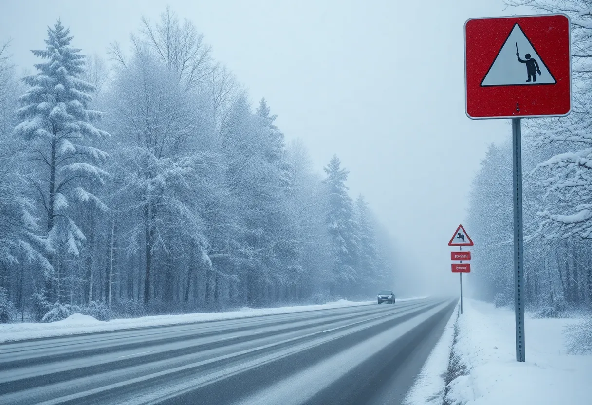
A significant winter storm is set to impact the eastern United States starting Tuesday, February 11, 2025. Covering around 200,000 square miles, the storm will bring snow, ice, and difficult travel conditions from Missouri to Massachusetts. Major cities like Washington, D.C., Philadelphia, and Charleston are bracing for dangerous accumulations, with snowfall possibly reaching up to 14 inches in some areas. Expect school closures and early dismissals as the storm is anticipated to produce severe conditions in numerous states.
Get Ready for Snow: Winter Storm to Hit Eastern U.S.!
As if winter needed any more drama, a new winter storm is making its way across the eastern U.S., starting Tuesday, February 11, 2025. This storm is expected to cover **around 200,000 square miles**, bringing snow, ice, and some serious travel headaches!
States in the Blizzard Zone
The storm will impact states from Missouri to Massachusetts. Yep, that’s a considerable stretch! Some areas are bracing themselves for significant snow accumulation, especially across the mid-Mississippi and Ohio valleys and into the mid-Atlantic region. We’re talking about cities like Washington, D.C., Philadelphia, and Charleston, West Virginia, which are all in the line of fire.
Snow, Ice, and More Snow
Anyone traveling through the southern Appalachians and Piedmont should be prepared for dangerous ice conditions. Specifically, the Interstate 77 and 81 corridors could experience especially slippery roads. Snowfall may reach rates of **1-2 inches per hour** in some places, making road maintenance feel like an uphill battle. No one enjoys getting stuck in traffic during stormy weather!
Areas stretching from eastern Kentucky to New Jersey and Delaware are forecasted to receive **3-6 inches of snow**, but places like northern Virginia and eastern West Virginia might see heavier accumulations of **6-12 inches**, with localized maximums possibly hitting **14 inches**. That’s quite a bit of snow, which means we should start stocking up on hot chocolate!
Seasonal Context
If you’re curious how this storm stacks up against the season, so far, Washington, D.C. has recorded **8.4 inches** of snow this winter, which is slightly below its historical average. On the other hand, Philadelphia has seen around **5 inches**, while New York City is sitting at **17.8 inches**, both lower than expected. So, this upcoming storm might just up the totals for everyone!
The Snowline
For those east of the accumulating snow, the northern edge will hover around Interstate 80 in Pennsylvania and New Jersey, and places from New York City to southern New England can expect **1 to 4 inches**. That might make for some picturesque winter scenes but could also result in some delays.
Potential Power Outages
Let’s talk about ice. There’s a real possibility of ice accumulation, which might lead to power outages. The weight from freezing rain could bring down tree limbs, creating quite the headache for utility companies. Let’s hope it’s not too severe!
Rain and Thunderstorms Too?
Meanwhile, in the southeastern U.S., rain and thunderstorms are predicted. These storms could lead to **urban and small stream flash flooding**, adding to the winter weather chaos. What a mix!
What Lies Ahead
And if that isn’t enough, a second storm is expected to roll in midweek, bringing heavy snowfall to Midwest metro areas like Chicago, Detroit, and Kansas City. So folks in those cities should be ready for another round of snow!
School Closures and Early Dismissals
The weather is serious enough that the National Weather Service has issued winter storm warnings for most areas, anticipating widespread school closures and disruptions in government operations. Many districts in the D.C. metro area have already announced early dismissals due to the storm. Make sure you check with your local schools if you have kiddos, as they navigate these snowy challenges.
How It All Starts
The first wave of the storm is expected to kick off with light snow on Tuesday afternoon, gradually increasing as we head into the evening. With temperatures projected in the mid to upper 30s at the storm’s onset, the initial snow accumulation might be hampered a bit. But don’t let that fool you—things could get messy!
By late Wednesday, a mix of sleet and freezing rain will make its grand entrance, which means we could still be feeling the effects into Thursday morning.
So buckle up and keep those shovels handy. Winter is coming in hard, and it looks like we might have a few days of adventures—and potential delays— ahead!
Deeper Dive: News & Info About This Topic
- AccuWeather: Early Week Winter Storm
- Wikipedia: Winter Storm
- Washington Post: DC Area Winter Storm Forecast
- Google Search: Winter Weather
- Country Herald: DC Winter Storm Alert
- Encyclopedia Britannica: Snow
- Southern Maryland Chronicle: Snowstorm Incoming
- Google News: Winter Storm 2025